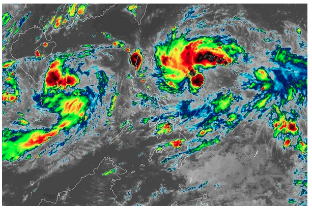
MANILA - A new storm may enter the Philippine Area of Responsibility on Wednesday, ABS-CBN resident meteorologist Ariel Rojas said, quoting the Japan Meteorological Agency.
"Japan Meteorological Agency updates the track of Severe Tropical Storm Hinnamnor. It is now forecast to enter the Philippine Area of Responsibility on Wednesday as typhoon," Rojas said Monday.
The Philippine Atmospheric, Geophysical and Astronomical Services Administration earlier in the day also affirmed the possibility of Hinnamnor entering the PAR on Wednesday or Thursday.
Once it does, the storm will be named Gardo.
It is unlikely though to hit land as it is forecast to linger at the Philippine Sea before exiting the PAR on Saturday, said Rojas.
PAGASA weather specialist Aldczar Aurelio said in the agency's 4 a.m. bulletin that Hinnamnor may directly hit Taiwan or southern Japan.
Rojas noted that the entry of the storm in the PAR is significantly dependent on the strength of the subtropical ridge.
"A subtropical ridge or high pressure area at the height of 5km in the atmosphere south of Japan will steer Hinnamnor towards the country," he said.
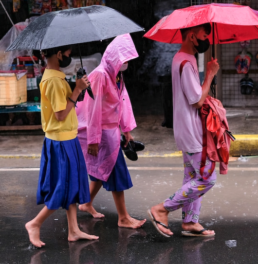
Although a landfall is unlikely, the storm may enhance the habagat that may affect the western section of Luzon starting Thursday, he added.
Rojas urged the public to continue monitoring updates about Hinnamnor as scenarios presented may still change.
The last severe tropical storm to enter the Philippines, Florita, left in its wake 3 dead and at least P19.1 million in agricultural damage.
An average of 20 tropical cyclones hit the Philippines every year.
Full story here: https://tinylinkurl.com/iSFSV


Comments
Authentication required
You must log in to post a comment.
Log in