
Batanes and Babuyan Islands could be placed under storm wind signal number 3 as super typhoon Mawar approaches the Philippines' northernmost tip, state weather bureau PAGASA said Friday night.
PAGASA weather specialist Ana Clauren-Jorda told a briefing that signal no. 2 to 3 could be raised over the areas while the super typhoon makes a close passage to the islands.
Signal 3 means 89 to 117 kph winds may knock down power, cause minor roof damage on well-constructed houses, and break small trees.
Clauren-Jorda added that wind signals could also be hoisted over the eastern section of Central Luzon or in the Aurora area.
Wind signals are issued in preparation for the severe winds brought by the storm.
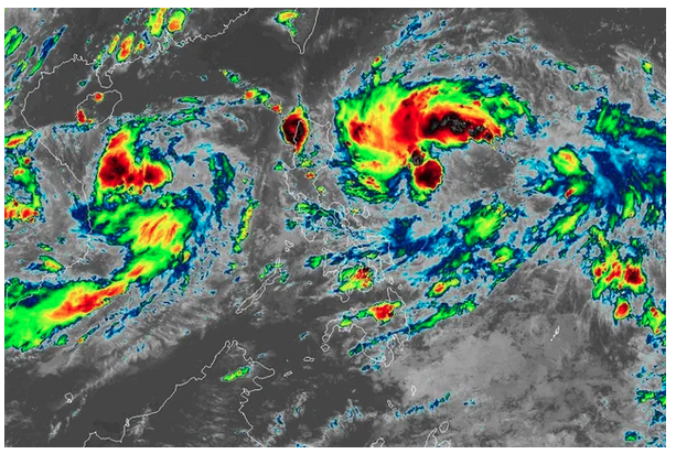
Mawar was located 1,725 kilometers east of Central Luzon as of 3 p.m., packing maximum winds of 215 kph near the center and gustiness of up to 265 kph. It was still moving west-northwestward at 25 kph.
Mawar is expected to enter the Philippine area of responsibility by Friday night or early Saturday. It will be given the domestic name Betty.
STRENGTH
Super typhoon Mawar is forecast to maintain its strength or still gain power, according to PAGASA's 5 p.m. bulletin.
Mawar could keep its 215 kilometers per hour winds or still strengthen to 220 kph "within the next 1 to 2 days," said PAGASA weather specialist Daniel James Villamil.
Mawar's rain bands could directly unleash heavy rains over Cagayan Valley and the northern portion of Aurora beginning Sunday night until Monday next week, he added. Torrential rains may spawn flooding and landslides.
Rainy weather is also expected over the western portions of Central Luzon, southern Luzon, and Visayas because of Mawar-enhanced southwest monsoon or habagat, Villamil said.
Full story here: https://tinylinkurl.com/mhGiW


Comments
Authentication required
You must log in to post a comment.
Log in